
Land and Water Around Our Community
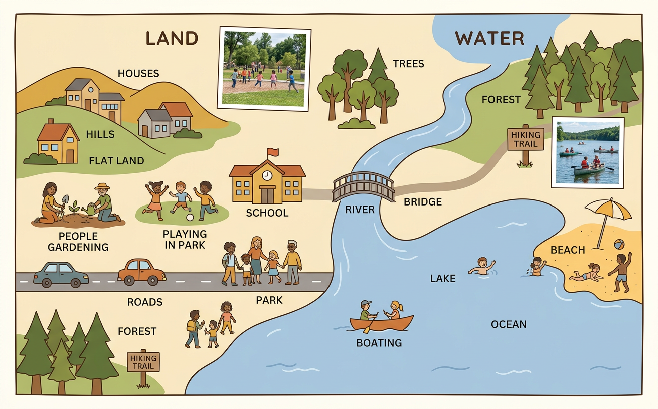
Students identify land and water features in photographs and on a simple community map and explain how people use these places.
Illustrations are auto-generated and may be placeholders. They can be refreshed to match the narration.
Notice Land and Water
Land is the solid ground around us. Soil, sand, rocks, hills, and fields are parts of land. Water collects in places such as ponds, lakes, rivers, and streams. Look carefully at color, shape, and texture to tell land from water. Water may look blue, green, brown, shiny, or wavy in a picture. Land may hold grass, trees, roads, or buildings. For example, imagine a park with a grassy field beside a pond. The field is land, and the pond is water. The picture shows where each feature is located. Words under the picture can name the features and explain what we see. Together, the picture and words help us understand the place.

Explore Community Photographs
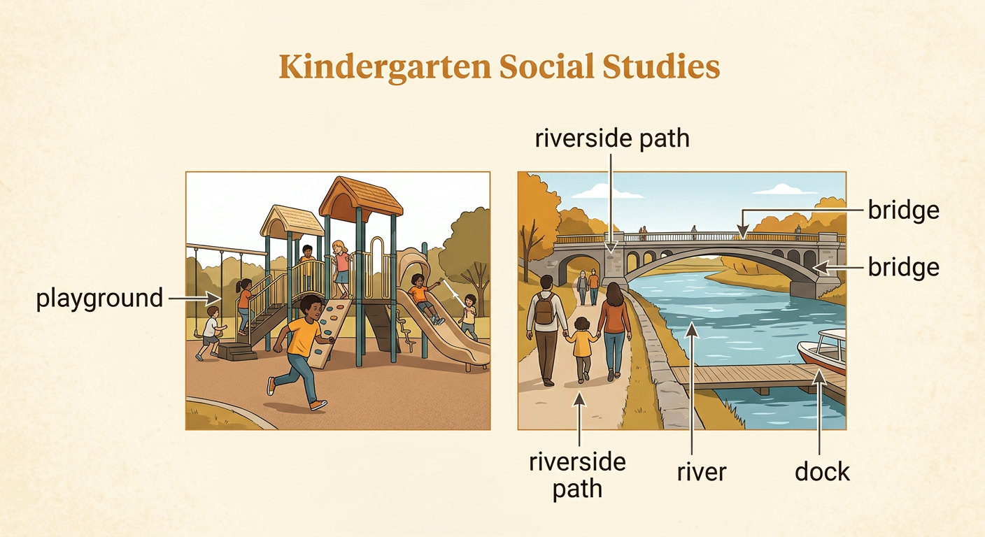
Photographs show what real places look like. When you study a community photograph, first look for land and water. Then notice details that tell how people use the place. A playground has land where children can run and play. A river may have a bridge that helps people cross the water. A lake may have a dock where people can safely enter a boat. Compare two photographs by asking, “What is the same? What is different?” For example, a photograph of a playground and a photograph of a riverside path both show people outdoors. Only the riverside photograph shows flowing water. Words beside each photograph can name the place or explain what people are doing there.
Read a Simple Map
A map is a drawing that shows where places are. A community map often looks down from above, as if you were high in the sky. Map symbols are small pictures or shapes that stand for real features. A blue shape may show a pond, and a green shape may show a park. A line may show a road or path. The map key explains what each symbol means. For example, start at the school on a simple map. Follow the road past the park to reach the pond. The school, park, road, and pond are placed to show their locations near one another. Reading the labels and the map key helps you connect the drawing to familiar places in the community.

How People and Animals Use Places
Living things need places that help them survive. People use land for homes, schools, gardens, roads, and play areas. They use water for drinking after it is made safe, growing food, traveling, and recreation. Animals also need places that provide food, water, air, and shelter. A duck may live near a pond because it can find water, plants, insects, and a place to rest. A squirrel may live near trees because trees provide food and shelter. Fish live in water, where they find food and dissolved oxygen. People can care for these places by putting trash in bins and leaving animal homes undisturbed. A picture model can use arrows to connect each living thing to what it needs in its place.

Draw a Land-and-Water Map
You can make a map of a familiar place, such as a park near your home or school. Begin by drawing the largest land and water features from a view above. Use a blue shape for a pond or stream and a green shape for a field or park. Add simple symbols for a school, trees, paths, bridges, or playgrounds. Place each symbol where it belongs compared with the other features. Then create a map key that explains the colors and symbols. Add labels so another person can read your map. For example, draw a school beside a road, a park across the road, and a pond inside the park. Check that the map shows how someone could travel from the school to the pond.
