
The Trail of Tears: Removal, Resistance, and Survival
Students examine maps and primary-source evidence to understand why the U.S. government forced southeastern Native nations from their homelands and how Native communities resisted, survived, and rebuilt.
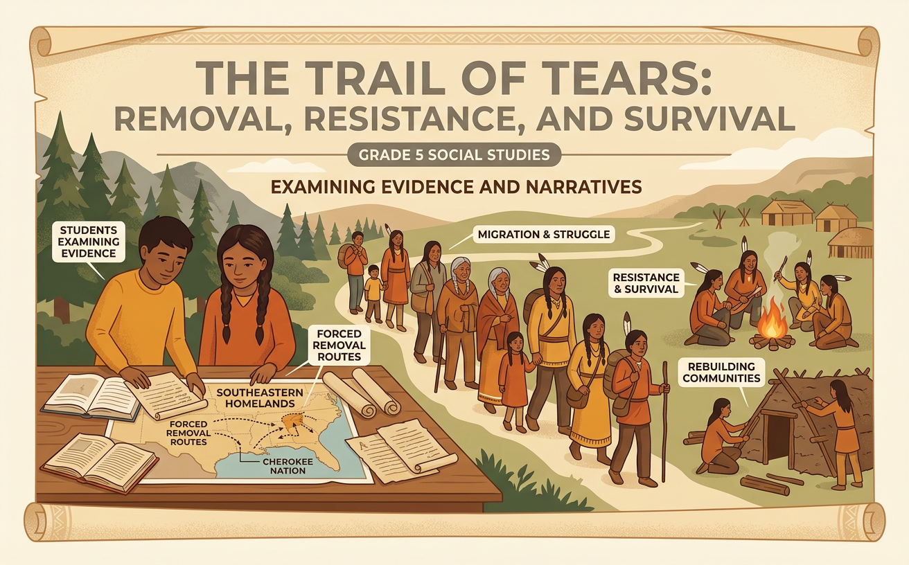
Illustrations are auto-generated and may be placeholders. They can be refreshed to match the narration.
Native Nations and Southeastern Homelands
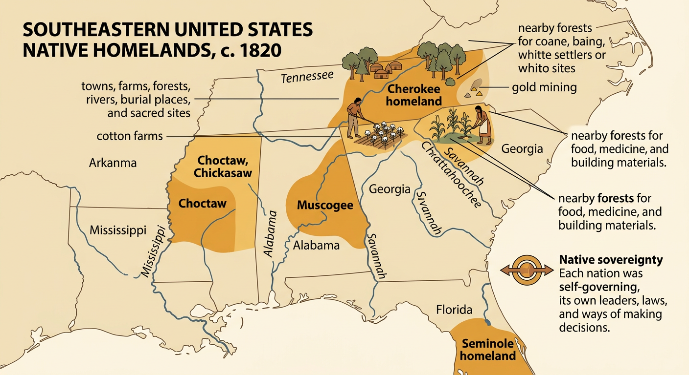
Before removal, the Southeast was home to many self-governing Native nations, including the Cherokee, Choctaw, Chickasaw, Muscogee, and Seminole. Their homelands covered parts of present-day Georgia, Alabama, Mississippi, Florida, Tennessee, and the Carolinas. Communities built towns, created governments, farmed, hunted, traded, and cared for forests and waterways. For example, Cherokee farmers grew corn, beans, and squash in fertile river valleys while using nearby forests for food, medicine, and building materials. These lands also held burial places, sacred sites, and generations of family history. During the early 1800s, white settlers and state leaders increasingly wanted Native land for cotton farms, gold mining, and settlement. This demand for land threatened Native nations’ sovereignty, environments, economies, and ways of life.
The Indian Removal Act of 1830
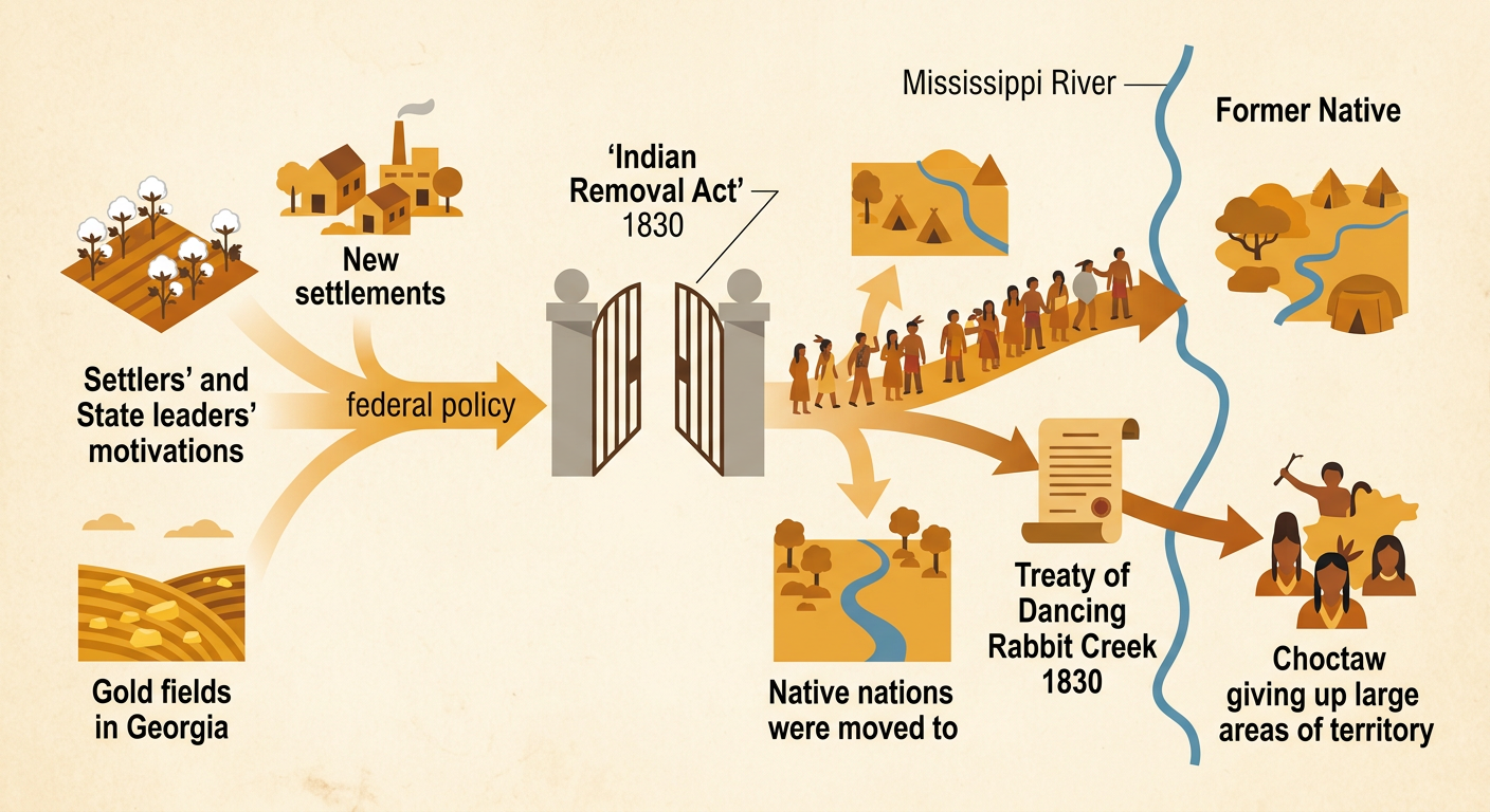
In 1830, Congress passed the Indian Removal Act, and President Andrew Jackson signed it into law. The act authorized the president to negotiate land exchanges that moved Native nations west of the Mississippi River. Although the law described these exchanges as agreements, federal officials used threats, pressure, and unfair treaties to force removal. State governments and white settlers wanted Native homelands for cotton farming, settlement, and, in Georgia, gold mining. One example was the 1830 Treaty of Dancing Rabbit Creek, through which the Choctaw were made to give up millions of acres in Mississippi. Thousands of Choctaw people then traveled west under dangerous conditions. The act helped turn settlers’ demand for land into federal policy, causing Native nations to lose homelands, resources, homes, and lives.
Cherokee Resistance and the Supreme Court
The Cherokee Nation resisted removal through petitions, public writing, diplomacy, and the courts. In Cherokee Nation v. Georgia in 1831, the Supreme Court did not accept the case under the legal argument the Cherokee presented. In Worcester v. Georgia in 1832, however, the Court ruled that Georgia could not enforce its laws within Cherokee territory. Chief Justice John Marshall wrote that Georgia’s laws “have no force” there. This quotation shows that the Court recognized limits on state power, but federal and state leaders did not effectively protect Cherokee rights. In 1835, a small group without authority from the elected Cherokee government signed the Treaty of New Echota. Most Cherokee people opposed it, and nearly 16,000 signed a petition against removal. The U.S. Senate ratified the treaty, and the government used it to order removal.

Mapping the Routes of Forced Removal
Forced removal did not follow one road or happen at one time. During the 1830s, the Choctaw, Muscogee, Chickasaw, Cherokee, and many Seminole people were driven from different parts of the Southeast to Indian Territory, mainly in present-day Oklahoma. Some groups traveled by rivers on boats, while others walked or rode wagons over long land routes. A map shows how distance, season, terrain, and access to water affected each journey. For example, most Cherokee people were forced into camps in 1838 and then sent west in detachments. Several groups followed a northern land route through Tennessee, Kentucky, Illinois, Missouri, and Arkansas during the fall and winter of 1838–1839. Mapping separate routes helps explain why “the Trail of Tears” describes a larger forced-removal process, not a single path used by every nation.

Hardship, Survival, and Lasting Consequences
Forced removal caused hunger, disease, exposure, exhaustion, and death. Travelers often lacked enough food, clean water, shelter, clothing, and medical care. Crowded camps and harsh weather made illness spread more easily. Historians commonly estimate that about 4,000 Cherokee people died because of the roundup, camps, journey, and its immediate effects, though the exact number is uncertain. Other removed nations also suffered severe losses. Yet Native communities did more than endure. They protected families, shared supplies, maintained languages and ceremonies, and rebuilt governments, farms, schools, and towns in Indian Territory. For example, Cherokee leaders met in 1839 and established a new national government near present-day Tahlequah, Oklahoma. Removal’s consequences continue today through land loss, separated communities, and struggles over treaty rights and sovereignty. Native nations remain active governments and continue protecting cultural traditions, lands, waters, and natural resources.
